
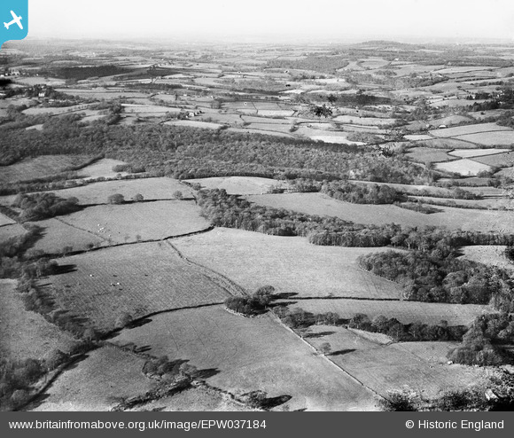
EPW037184 ENGLAND (1931). Well Field Wood and environs, Mayfield, from the south-east, 1931
© Hawlfraint cyfranwyr OpenStreetMap a thrwyddedwyd gan yr OpenStreetMap Foundation. 2026. Trwyddedir y gartograffeg fel CC BY-SA.
Manylion
| Pennawd | [EPW037184] Well Field Wood and environs, Mayfield, from the south-east, 1931 |
| Cyfeirnod | EPW037184 |
| Dyddiad | August-1931 |
| Dolen | |
| Enw lle | MAYFIELD |
| Plwyf | MAYFIELD AND FIVE ASHES |
| Ardal | |
| Gwlad | ENGLAND |
| Dwyreiniad / Gogleddiad | 562613, 127466 |
| Hydred / Lledred | 0.31892842591698, 51.022996956758 |
| Cyfeirnod Grid Cenedlaethol | TQ626275 |
Pinnau

Class31 |
Wednesday 16th of January 2013 09:49:39 AM | |
|
Class31 |
Wednesday 16th of January 2013 09:47:04 AM | |
|
Class31 |
Wednesday 16th of January 2013 09:42:31 AM | |
|
Class31 |
Wednesday 16th of January 2013 09:41:12 AM | |
|
Class31 |
Wednesday 16th of January 2013 09:39:01 AM | |
|
Class31 |
Wednesday 16th of January 2013 09:20:39 AM | |
|
Class31 |
Wednesday 16th of January 2013 09:19:35 AM | |
|
Class31 |
Wednesday 16th of January 2013 09:18:13 AM | |
|
Class31 |
Wednesday 16th of January 2013 09:14:38 AM | |
|
Class31 |
Wednesday 16th of January 2013 09:13:49 AM | |
|
Class31 |
Wednesday 16th of January 2013 09:12:22 AM | |
|
Class31 |
Monday 10th of December 2012 04:17:52 PM |
Cyfraniadau Grŵp
Eureka We have another one located. This is in a very rural part of the world but much is on the other photo EPW037183 which is located. The photo is of Combe Wood (sic) from the south east from above Doozes Farm. |
Class31 |
Friday 8th of March 2013 02:59:45 PM |
Thanks for checking out this one, Class31, we'll update the catalogue record, and post the correct location data here in due course. Yours, Katy Britain from Above Cataloguing Team Leader |
Katy Whitaker |
Friday 8th of March 2013 02:59:45 PM |
The same location as EPW037183 |
Class31 |
Monday 10th of December 2012 04:16:07 PM |