
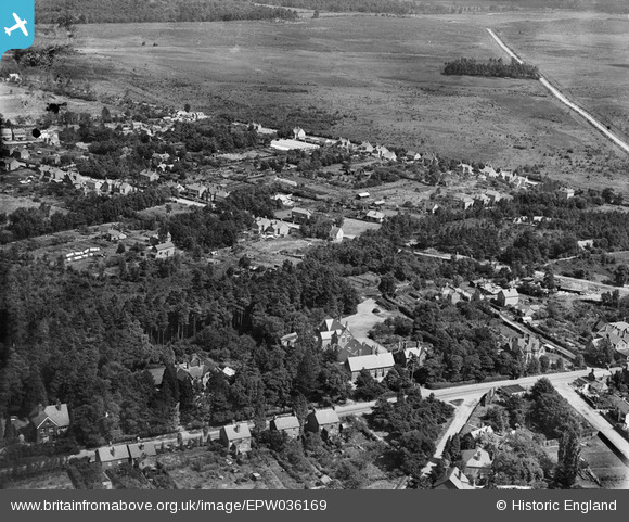
EPW036169 ENGLAND (1931). Pinewood Avenue and environs, Crowthorne, 1931
© Hawlfraint cyfranwyr OpenStreetMap a thrwyddedwyd gan yr OpenStreetMap Foundation. 2025. Trwyddedir y gartograffeg fel CC BY-SA.
Manylion
| Pennawd | [EPW036169] Pinewood Avenue and environs, Crowthorne, 1931 |
| Cyfeirnod | EPW036169 |
| Dyddiad | August-1931 |
| Dolen | |
| Enw lle | CROWTHORNE |
| Plwyf | WOKINGHAM WITHOUT |
| Ardal | |
| Gwlad | ENGLAND |
| Dwyreiniad / Gogleddiad | 484100, 164487 |
| Hydred / Lledred | -0.79163407149344, 51.372706322978 |
| Cyfeirnod Grid Cenedlaethol | SU841645 |
Pinnau
 designking |
Saturday 10th of May 2025 10:49:13 AM | |
vof |
Monday 4th of November 2013 11:49:23 PM | |
vof |
Monday 4th of November 2013 11:39:22 PM | |
vof |
Monday 4th of November 2013 11:37:45 PM | |
This is where the Transport Road reaearch institute was built. |
cbs |
Thursday 12th of May 2016 09:44:35 AM |
vof |
Monday 4th of November 2013 11:35:56 PM | |
vof |
Monday 4th of November 2013 03:25:03 PM | |
vof |
Monday 4th of November 2013 03:17:54 PM | |
vof |
Monday 4th of November 2013 03:15:11 PM | |
vof |
Monday 4th of November 2013 03:13:46 PM | |
vof |
Monday 4th of November 2013 03:12:30 PM | |
vof |
Monday 4th of November 2013 03:08:44 PM | |
vof |
Monday 4th of November 2013 03:07:17 PM | |
vof |
Monday 4th of November 2013 03:06:17 PM | |
vof |
Monday 4th of November 2013 03:05:18 PM |