
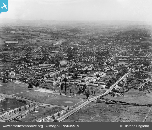
EPW035919 ENGLAND (1931). South Road and the town, Stourbridge, from the west, 1931
© Hawlfraint cyfranwyr OpenStreetMap a thrwyddedwyd gan yr OpenStreetMap Foundation. 2026. Trwyddedir y gartograffeg fel CC BY-SA.
Manylion
| Pennawd | [EPW035919] South Road and the town, Stourbridge, from the west, 1931 |
| Cyfeirnod | EPW035919 |
| Dyddiad | July-1931 |
| Dolen | |
| Enw lle | STOURBRIDGE |
| Plwyf | |
| Ardal | |
| Gwlad | ENGLAND |
| Dwyreiniad / Gogleddiad | 389029, 283954 |
| Hydred / Lledred | -2.1614598384105, 52.453058490468 |
| Cyfeirnod Grid Cenedlaethol | SO890840 |
Pinnau

DaveS |
Tuesday 10th of January 2017 03:31:35 PM |