
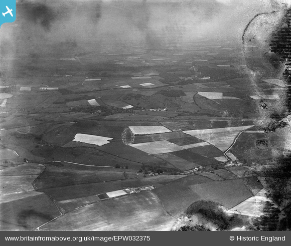
EPW032375 ENGLAND (1930). Cheselbourne and surrounding countryside, Cheselbourne, from the west, 1930. This image has been produced from a damaged negative.
© Hawlfraint cyfranwyr OpenStreetMap a thrwyddedwyd gan yr OpenStreetMap Foundation. 2026. Trwyddedir y gartograffeg fel CC BY-SA.
Manylion
| Pennawd | [EPW032375] Cheselbourne and surrounding countryside, Cheselbourne, from the west, 1930. This image has been produced from a damaged negative. |
| Cyfeirnod | EPW032375 |
| Dyddiad | June-1930 |
| Dolen | |
| Enw lle | CHESELBOURNE |
| Plwyf | CHESELBOURNE |
| Ardal | |
| Gwlad | ENGLAND |
| Dwyreiniad / Gogleddiad | 375781, 100584 |
| Hydred / Lledred | -2.3437349016049, 50.803742298967 |
| Cyfeirnod Grid Cenedlaethol | ST758006 |
Pinnau
Byddwch y cyntaf i ychwanegu sylw at y ddelwedd hon!