
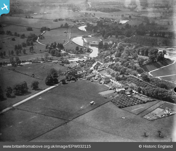
EPW032115 ENGLAND (1930). The village, Aylesford, from the north-east, 1930
© Hawlfraint cyfranwyr OpenStreetMap a thrwyddedwyd gan yr OpenStreetMap Foundation. 2026. Trwyddedir y gartograffeg fel CC BY-SA.
Manylion
| Pennawd | [EPW032115] The village, Aylesford, from the north-east, 1930 |
| Cyfeirnod | EPW032115 |
| Dyddiad | May-1930 |
| Dolen | |
| Enw lle | AYLESFORD |
| Plwyf | AYLESFORD |
| Ardal | |
| Gwlad | ENGLAND |
| Dwyreiniad / Gogleddiad | 573397, 159043 |
| Hydred / Lledred | 0.48778705646638, 51.303551967306 |
| Cyfeirnod Grid Cenedlaethol | TQ734590 |
Pinnau
Byddwch y cyntaf i ychwanegu sylw at y ddelwedd hon!