
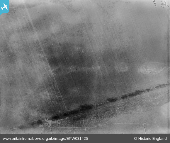
EPW031425 ENGLAND (1930). Land on the east bank of the Goole Reach of the River Ouse, Sand Hall, 1930
© Hawlfraint cyfranwyr OpenStreetMap a thrwyddedwyd gan yr OpenStreetMap Foundation. 2026. Trwyddedir y gartograffeg fel CC BY-SA.
Manylion
| Pennawd | [EPW031425] Land on the east bank of the Goole Reach of the River Ouse, Sand Hall, 1930 |
| Cyfeirnod | EPW031425 |
| Dyddiad | February-1930 |
| Dolen | |
| Enw lle | SAND HALL |
| Plwyf | KILPIN |
| Ardal | |
| Gwlad | ENGLAND |
| Dwyreiniad / Gogleddiad | 475533, 422729 |
| Hydred / Lledred | -0.85590040159477, 53.695306681206 |
| Cyfeirnod Grid Cenedlaethol | SE755227 |
Pinnau

Class31 |
Friday 4th of January 2013 10:26:37 PM | |
|
Class31 |
Friday 4th of January 2013 10:24:05 PM | |
|
Class31 |
Friday 4th of January 2013 10:22:27 PM | |
|
Class31 |
Friday 4th of January 2013 10:19:11 PM |
Cyfraniadau Grŵp
I've pinned Dave's suggested decimal Lat/Long, which is at Goole - any comments on the proposed location anyone? Yours, Katy Britain from Above Cataloguing Team Leader |
Katy Whitaker |
Thursday 7th of March 2013 04:20:46 PM |
Overall everything fits for this location. |
Class31 |
Friday 4th of January 2013 10:27:54 PM |
With so few control points this one is tricky but it can be placed on the east bank of the Goole Reach. We'll update the catalogue and post the corrected location data here in due course. Thanks for looking at it! Yours, Katy Britain from Above Cataloguing Team Leader |
Katy Whitaker |
Thursday 7th of March 2013 04:20:46 PM |
53.695591° -0.860391° would be my guess for the bottom of the line up the field |

Dave Brunt |
Wednesday 5th of December 2012 03:46:15 PM |
Somewhere near Goole. The blobs across the middle of the image are likely to be imperfections in the image and are not actually there. This can be seen if you examine the other images of Goole. |
Class31 |
Sunday 22nd of July 2012 09:16:24 PM |