
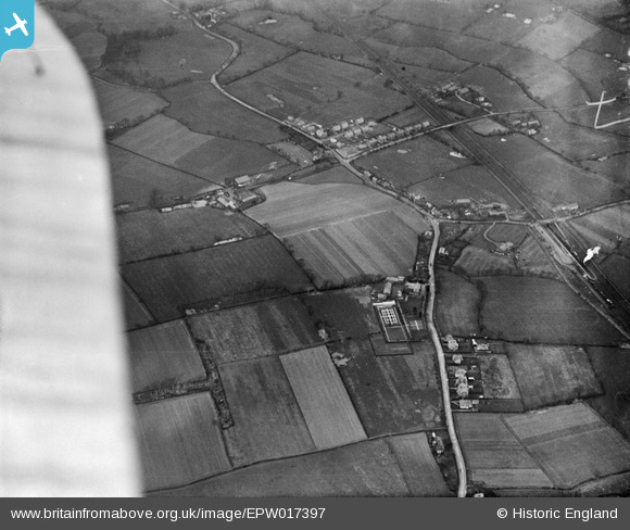
EPW017397 ENGLAND (1927). Styal Road and environs, Heald Green, 1927
© Hawlfraint cyfranwyr OpenStreetMap a thrwyddedwyd gan yr OpenStreetMap Foundation. 2026. Trwyddedir y gartograffeg fel CC BY-SA.
Manylion
| Pennawd | [EPW017397] Styal Road and environs, Heald Green, 1927 |
| Cyfeirnod | EPW017397 |
| Dyddiad | 8-March-1927 |
| Dolen | |
| Enw lle | HEALD GREEN |
| Plwyf | |
| Ardal | |
| Gwlad | ENGLAND |
| Dwyreiniad / Gogleddiad | 384059, 386050 |
| Hydred / Lledred | -2.239615116074, 53.370807112728 |
| Cyfeirnod Grid Cenedlaethol | SJ841861 |
Pinnau

John Ellis |
Friday 19th of October 2012 04:47:04 PM | |
|
John Ellis |
Saturday 7th of July 2012 01:25:06 PM | |
|
John Ellis |
Saturday 7th of July 2012 01:23:30 PM | |
|
John Ellis |
Saturday 7th of July 2012 12:50:00 PM | |
|
John Ellis |
Saturday 7th of July 2012 12:47:58 PM | |
|
John Ellis |
Saturday 7th of July 2012 12:46:06 PM | |
|
John Ellis |
Saturday 7th of July 2012 12:42:22 PM | |
|
John Ellis |
Saturday 7th of July 2012 12:40:59 PM | |
|
John Ellis |
Saturday 7th of July 2012 12:40:27 PM | |
|
John Ellis |
Saturday 7th of July 2012 12:39:48 PM | |
|
John Ellis |
Saturday 7th of July 2012 12:36:48 PM | |
|
John Ellis |
Saturday 7th of July 2012 12:35:48 PM | |
|
John Ellis |
Saturday 7th of July 2012 12:34:42 PM | |
|
John Ellis |
Saturday 7th of July 2012 12:33:53 PM |