
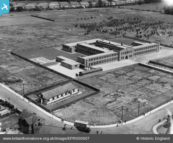
EPR000607 ENGLAND (1935). Dormer's Wells Secondary School, Dormer's Wells, 1935
© Hawlfraint cyfranwyr OpenStreetMap a thrwyddedwyd gan yr OpenStreetMap Foundation. 2026. Trwyddedir y gartograffeg fel CC BY-SA.
Manylion
| Pennawd | [EPR000607] Dormer's Wells Secondary School, Dormer's Wells, 1935 |
| Cyfeirnod | EPR000607 |
| Dyddiad | 9-June-1935 |
| Dolen | |
| Enw lle | DORMER'S WELLS |
| Plwyf | |
| Ardal | |
| Gwlad | ENGLAND |
| Dwyreiniad / Gogleddiad | 513341, 181139 |
| Hydred / Lledred | -0.36631887205429, 51.517305618501 |
| Cyfeirnod Grid Cenedlaethol | TQ133811 |
Pinnau

Des Elmes |
Wednesday 14th of December 2022 03:06:21 AM |