
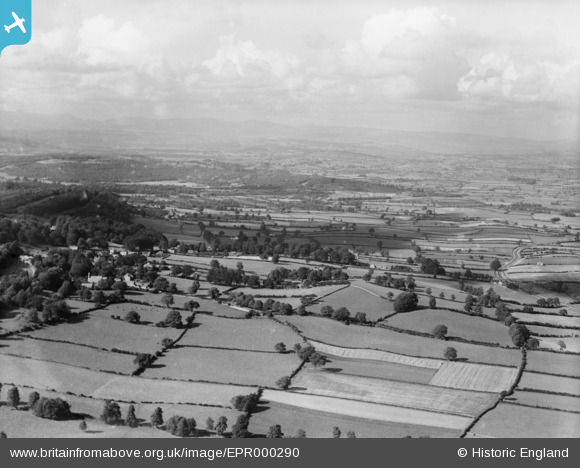
EPR000290 ENGLAND (1934). The village and surrounding countryside, Yealand Conyers, from the south, 1934
© Hawlfraint cyfranwyr OpenStreetMap a thrwyddedwyd gan yr OpenStreetMap Foundation. 2025. Trwyddedir y gartograffeg fel CC BY-SA.
Manylion
| Pennawd | [EPR000290] The village and surrounding countryside, Yealand Conyers, from the south, 1934 |
| Cyfeirnod | EPR000290 |
| Dyddiad | 30-August-1934 |
| Dolen | |
| Enw lle | YEALAND CONYERS |
| Plwyf | YEALAND CONYERS |
| Ardal | |
| Gwlad | ENGLAND |
| Dwyreiniad / Gogleddiad | 350676, 473961 |
| Hydred / Lledred | -2.755428594813, 54.158915627473 |
| Cyfeirnod Grid Cenedlaethol | SD507740 |
Pinnau
Byddwch y cyntaf i ychwanegu sylw at y ddelwedd hon!