
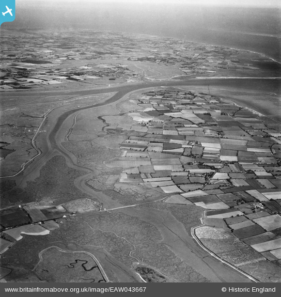
EAW043667 ENGLAND (1952). The northern part of Mersea Island looking towards St Osyth Marsh, Mersea Island, from the west, 1952
© Hawlfraint cyfranwyr OpenStreetMap a thrwyddedwyd gan yr OpenStreetMap Foundation. 2026. Trwyddedir y gartograffeg fel CC BY-SA.
Manylion
| Pennawd | [EAW043667] The northern part of Mersea Island looking towards St Osyth Marsh, Mersea Island, from the west, 1952 |
| Cyfeirnod | EAW043667 |
| Dyddiad | 4-June-1952 |
| Dolen | |
| Enw lle | MERSEA ISLAND |
| Plwyf | WEST MERSEA |
| Ardal | |
| Gwlad | ENGLAND |
| Dwyreiniad / Gogleddiad | 601540, 214979 |
| Hydred / Lledred | 0.92309143386995, 51.796637299263 |
| Cyfeirnod Grid Cenedlaethol | TM015150 |
Pinnau

redmist |
Saturday 3rd of February 2024 09:35:46 AM | |
|
redmist |
Saturday 3rd of February 2024 09:34:07 AM | |
PILLBOX (ESSEX LOZENGE): S0007446 (Extant) |

Matt Aldred edob.mattaldred.com |
Tuesday 22nd of April 2025 12:00:17 PM |
|
redmist |
Saturday 3rd of February 2024 09:32:30 AM | |

keithb |
Wednesday 8th of April 2015 04:07:06 PM | |
|
woodsy007 |
Thursday 24th of July 2014 06:09:07 PM | |
|
woodsy007 |
Thursday 24th of July 2014 06:03:01 PM | |
|
woodsy007 |
Thursday 24th of July 2014 05:46:02 PM | |
|
woodsy007 |
Thursday 24th of July 2014 05:45:16 PM | |
|
woodsy007 |
Thursday 24th of July 2014 05:42:32 PM | |
|
woodsy007 |
Thursday 24th of July 2014 05:40:39 PM |
