
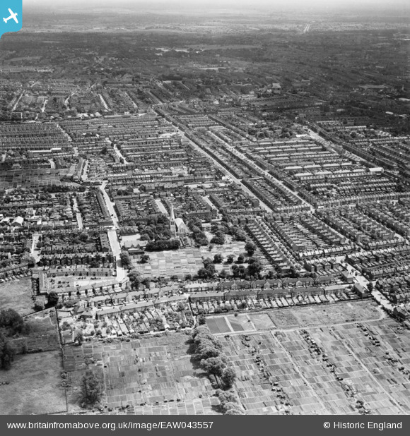
EAW043557 ENGLAND (1952). Markmanor Avenue, St Saviour's Church and the area around Boundary Road, Leyton, from the west, 1952
© Hawlfraint cyfranwyr OpenStreetMap a thrwyddedwyd gan yr OpenStreetMap Foundation. 2026. Trwyddedir y gartograffeg fel CC BY-SA.
Manylion
| Pennawd | [EAW043557] Markmanor Avenue, St Saviour's Church and the area around Boundary Road, Leyton, from the west, 1952 |
| Cyfeirnod | EAW043557 |
| Dyddiad | 4-June-1952 |
| Dolen | |
| Enw lle | LEYTON |
| Plwyf | |
| Ardal | |
| Gwlad | ENGLAND |
| Dwyreiniad / Gogleddiad | 536548, 187807 |
| Hydred / Lledred | -0.029423096774244, 51.572098277501 |
| Cyfeirnod Grid Cenedlaethol | TQ365878 |
Pinnau

Post-war prefabs |
Wednesday 20th of November 2019 11:10:48 AM | |
|
Post-war prefabs |
Wednesday 20th of November 2019 11:08:26 AM |