
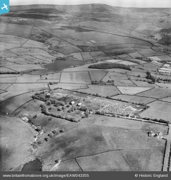
EAW043355 ENGLAND (1952). Cemetery on Cemetery Road, Bettenhill, from the north-west, 1952
© Hawlfraint cyfranwyr OpenStreetMap a thrwyddedwyd gan yr OpenStreetMap Foundation. 2026. Trwyddedir y gartograffeg fel CC BY-SA.
Manylion
| Pennawd | [EAW043355] Cemetery on Cemetery Road, Bettenhill, from the north-west, 1952 |
| Cyfeirnod | EAW043355 |
| Dyddiad | 16-May-1952 |
| Dolen | |
| Enw lle | BETTENHILL |
| Plwyf | |
| Ardal | |
| Gwlad | ENGLAND |
| Dwyreiniad / Gogleddiad | 403406, 395805 |
| Hydred / Lledred | -1.9486974842947, 53.458730027158 |
| Cyfeirnod Grid Cenedlaethol | SK034958 |
Pinnau

Andy T |
Friday 11th of June 2021 08:32:58 PM | |
|
Andy T |
Friday 11th of June 2021 08:30:32 PM | |

Class31 |
Sunday 5th of October 2014 09:05:10 AM | |
|
Class31 |
Sunday 5th of October 2014 09:04:16 AM | |
|
Class31 |
Sunday 5th of October 2014 09:02:15 AM | |
|
Class31 |
Sunday 5th of October 2014 09:01:28 AM |