
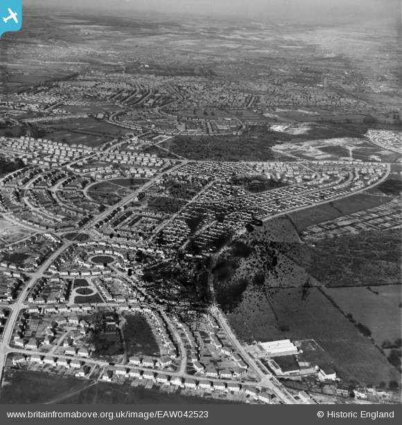
EAW042523 ENGLAND (1952). The residential area surrounding Bramerton Road and Bracebridge Drive, Bilborough, from the south-west, 1952. This image has been produced from a damaged negative.
© Hawlfraint cyfranwyr OpenStreetMap a thrwyddedwyd gan yr OpenStreetMap Foundation. 2026. Trwyddedir y gartograffeg fel CC BY-SA.
Manylion
| Pennawd | [EAW042523] The residential area surrounding Bramerton Road and Bracebridge Drive, Bilborough, from the south-west, 1952. This image has been produced from a damaged negative. |
| Cyfeirnod | EAW042523 |
| Dyddiad | 17-April-1952 |
| Dolen | |
| Enw lle | BILBOROUGH |
| Plwyf | |
| Ardal | |
| Gwlad | ENGLAND |
| Dwyreiniad / Gogleddiad | 451603, 340474 |
| Hydred / Lledred | -1.2317227710785, 52.958838123421 |
| Cyfeirnod Grid Cenedlaethol | SK516405 |
Pinnau

Post-war prefabs |
Friday 16th of December 2022 10:33:12 AM | |
|
Mythosman |
Thursday 8th of December 2022 09:17:45 AM | |
|
Mythosman |
Thursday 8th of December 2022 09:17:15 AM | |
|
Mythosman |
Thursday 8th of December 2022 09:15:59 AM | |
|
Mythosman |
Thursday 8th of December 2022 09:14:57 AM | |
|
Mythosman |
Thursday 8th of December 2022 09:14:21 AM | |
|
Mythosman |
Thursday 8th of December 2022 09:13:30 AM | |
|
Mythosman |
Thursday 8th of December 2022 09:12:01 AM |