
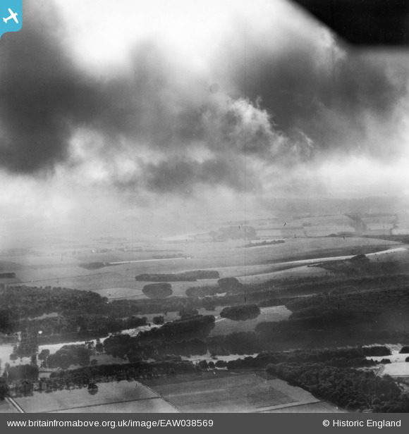
EAW038569 ENGLAND (1951). The Valdoe and Goodwood Park, Lavant, from the south-east, 1951. This image has been produced from a print.
© Hawlfraint cyfranwyr OpenStreetMap a thrwyddedwyd gan yr OpenStreetMap Foundation. 2026. Trwyddedir y gartograffeg fel CC BY-SA.
Manylion
| Pennawd | [EAW038569] The Valdoe and Goodwood Park, Lavant, from the south-east, 1951. This image has been produced from a print. |
| Cyfeirnod | EAW038569 |
| Dyddiad | 2-August-1951 |
| Dolen | |
| Enw lle | GOODWOOD PARK |
| Plwyf | LAVANT |
| Ardal | |
| Gwlad | ENGLAND |
| Dwyreiniad / Gogleddiad | 487307, 109910 |
| Hydred / Lledred | -0.75879101988093, 50.881523255755 |
| Cyfeirnod Grid Cenedlaethol | SU873099 |
Pinnau

Class31 |
Wednesday 21st of January 2015 04:46:39 PM | |
|
Class31 |
Wednesday 21st of January 2015 04:36:24 PM | |
|
Class31 |
Wednesday 21st of January 2015 04:35:38 PM | |
|
Class31 |
Wednesday 21st of January 2015 04:27:05 PM | |
|
Class31 |
Wednesday 21st of January 2015 04:25:36 PM | |
|
Class31 |
Wednesday 21st of January 2015 04:24:36 PM | |
|
Class31 |
Wednesday 21st of January 2015 04:23:32 PM | |
|
Class31 |
Wednesday 21st of January 2015 04:21:55 PM | |
|
Class31 |
Wednesday 21st of January 2015 04:21:02 PM | |
|
Class31 |
Wednesday 21st of January 2015 04:20:10 PM | |
|
Class31 |
Wednesday 21st of January 2015 04:19:28 PM | |
|
Class31 |
Wednesday 21st of January 2015 04:16:32 PM | |
|
Class31 |
Wednesday 21st of January 2015 04:14:59 PM | |
|
Class31 |
Wednesday 21st of January 2015 04:10:59 PM |