
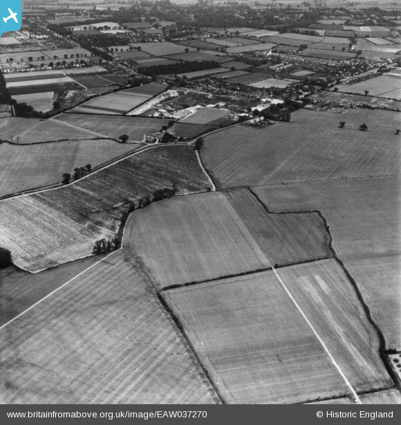
EAW037270 ENGLAND (1951). Gosbecks Iron Age and Romano-British site, Shrub End, 1951. This image has been produced from a print.
© Hawlfraint cyfranwyr OpenStreetMap a thrwyddedwyd gan yr OpenStreetMap Foundation. 2026. Trwyddedir y gartograffeg fel CC BY-SA.
Manylion
| Pennawd | [EAW037270] Gosbecks Iron Age and Romano-British site, Shrub End, 1951. This image has been produced from a print. |
| Cyfeirnod | EAW037270 |
| Dyddiad | 21-June-1951 |
| Dolen | |
| Enw lle | SHRUB END |
| Plwyf | STANWAY |
| Ardal | |
| Gwlad | ENGLAND |
| Dwyreiniad / Gogleddiad | 596630, 222547 |
| Hydred / Lledred | 0.85627425446885, 51.866352028798 |
| Cyfeirnod Grid Cenedlaethol | TL966225 |
Pinnau

Matt |
Tuesday 22nd of March 2022 06:51:12 AM | |
|
Philip Conway |
Wednesday 25th of May 2016 07:55:47 PM | |
|
Philip Conway |
Wednesday 25th of May 2016 07:54:17 PM |