
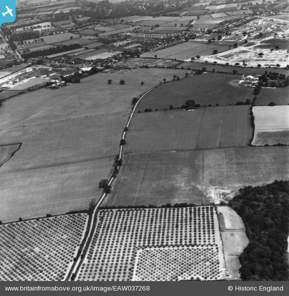
EAW037268 ENGLAND (1951). Olivers Lane and Gosbecks Iron Age and Romano-British site, Shrub End, 1951. This image has been produced from a print.
© Hawlfraint cyfranwyr OpenStreetMap a thrwyddedwyd gan yr OpenStreetMap Foundation. 2026. Trwyddedir y gartograffeg fel CC BY-SA.
Manylion
| Pennawd | [EAW037268] Olivers Lane and Gosbecks Iron Age and Romano-British site, Shrub End, 1951. This image has been produced from a print. |
| Cyfeirnod | EAW037268 |
| Dyddiad | 21-June-1951 |
| Dolen | |
| Enw lle | SHRUB END |
| Plwyf | |
| Ardal | |
| Gwlad | ENGLAND |
| Dwyreiniad / Gogleddiad | 597121, 222351 |
| Hydred / Lledred | 0.86328512855509, 51.86441854427 |
| Cyfeirnod Grid Cenedlaethol | TL971224 |
Pinnau
Byddwch y cyntaf i ychwanegu sylw at y ddelwedd hon!