
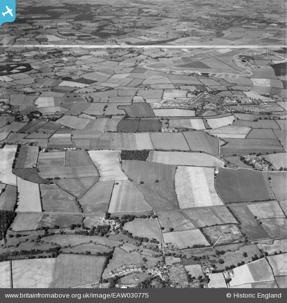
EAW030775 ENGLAND (1950). Cressing Temple, RAF Rivenhall Airfield and the surrounding countryside, Cressing, 1950. This image was marked by Aerofilms Ltd for photo editing.
© Hawlfraint cyfranwyr OpenStreetMap a thrwyddedwyd gan yr OpenStreetMap Foundation. 2026. Trwyddedir y gartograffeg fel CC BY-SA.
Manylion
| Pennawd | [EAW030775] Cressing Temple, RAF Rivenhall Airfield and the surrounding countryside, Cressing, 1950. This image was marked by Aerofilms Ltd for photo editing. |
| Cyfeirnod | EAW030775 |
| Dyddiad | 28-June-1950 |
| Dolen | |
| Enw lle | CRESSING |
| Plwyf | CRESSING |
| Ardal | |
| Gwlad | ENGLAND |
| Dwyreiniad / Gogleddiad | 579551, 219462 |
| Hydred / Lledred | 0.60687005300163, 51.844399312021 |
| Cyfeirnod Grid Cenedlaethol | TL796195 |
Pinnau

Matt Aldred edob.mattaldred.com |
Monday 26th of January 2026 01:56:43 PM |