
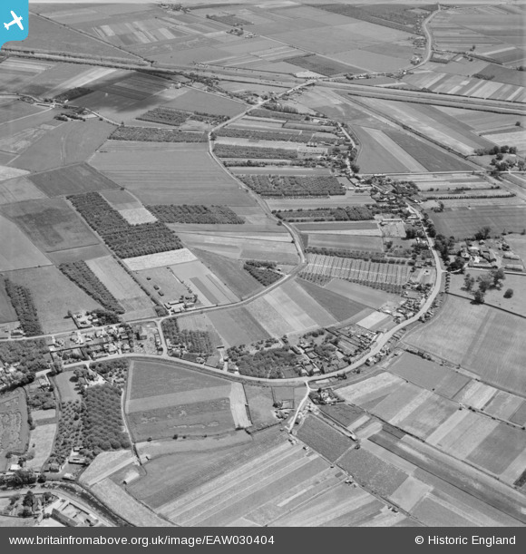
EAW030404 ENGLAND (1950). Croft Road, Back Drove and Plaw Field, Upwell, 1950
© Hawlfraint cyfranwyr OpenStreetMap a thrwyddedwyd gan yr OpenStreetMap Foundation. 2025. Trwyddedir y gartograffeg fel CC BY-SA.
Manylion
| Pennawd | [EAW030404] Croft Road, Back Drove and Plaw Field, Upwell, 1950 |
| Cyfeirnod | EAW030404 |
| Dyddiad | 20-June-1950 |
| Dolen | |
| Enw lle | UPWELL |
| Plwyf | UPWELL |
| Ardal | |
| Gwlad | ENGLAND |
| Dwyreiniad / Gogleddiad | 549734, 300912 |
| Hydred / Lledred | 0.21038429558479, 52.585007366592 |
| Cyfeirnod Grid Cenedlaethol | TF497009 |
Pinnau

Matt Aldred edob.mattaldred.com |
Friday 5th of January 2024 01:40:58 PM | |
|
Matt Aldred edob.mattaldred.com |
Friday 16th of July 2021 04:31:19 PM | |

Peter |
Thursday 6th of September 2018 08:26:11 PM | |
|
Peter |
Monday 20th of July 2015 10:09:22 PM | |
|
Peter |
Friday 1st of August 2014 09:22:19 PM | |
|
Peter |
Friday 1st of August 2014 09:21:05 PM |