
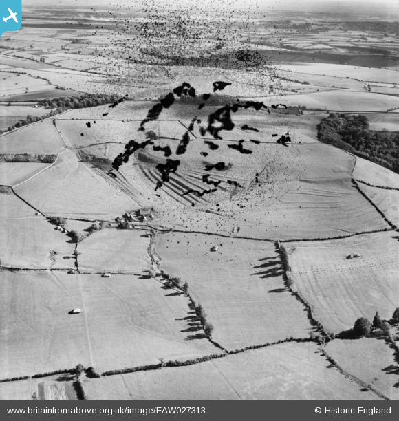
EAW027313 ENGLAND (1949). Sands Farm and surrounding countryside, Dyrham, from the west, 1949. This image has been produced from a damaged negative.
© Hawlfraint cyfranwyr OpenStreetMap a thrwyddedwyd gan yr OpenStreetMap Foundation. 2026. Trwyddedir y gartograffeg fel CC BY-SA.
Manylion
| Pennawd | [EAW027313] Sands Farm and surrounding countryside, Dyrham, from the west, 1949. This image has been produced from a damaged negative. |
| Cyfeirnod | EAW027313 |
| Dyddiad | 19-October-1949 |
| Dolen | |
| Enw lle | DYRHAM |
| Plwyf | DYRHAM AND HINTON |
| Ardal | |
| Gwlad | ENGLAND |
| Dwyreiniad / Gogleddiad | 373734, 175013 |
| Hydred / Lledred | -2.3782165157603, 51.472983443108 |
| Cyfeirnod Grid Cenedlaethol | ST737750 |
