
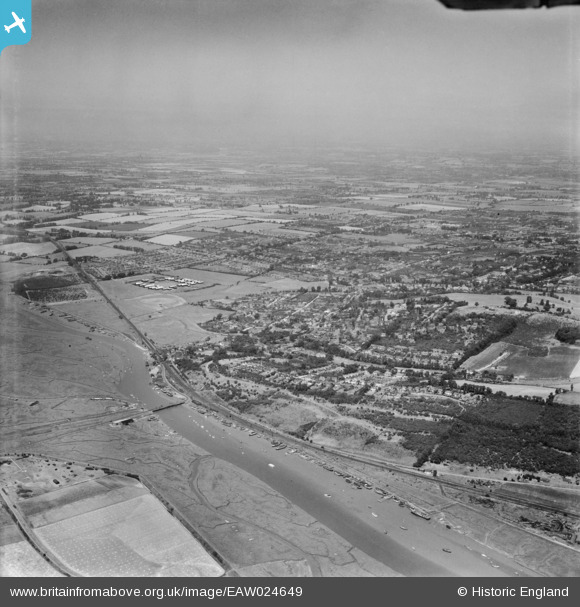
EAW024649 ENGLAND (1949). Benfleet Creek and the town, South Benfleet, from the south-east, 1949
© Hawlfraint cyfranwyr OpenStreetMap a thrwyddedwyd gan yr OpenStreetMap Foundation. 2026. Trwyddedir y gartograffeg fel CC BY-SA.
Manylion
| Pennawd | [EAW024649] Benfleet Creek and the town, South Benfleet, from the south-east, 1949 |
| Cyfeirnod | EAW024649 |
| Dyddiad | 11-July-1949 |
| Dolen | |
| Enw lle | SOUTH BENFLEET |
| Plwyf | |
| Ardal | |
| Gwlad | ENGLAND |
| Dwyreiniad / Gogleddiad | 578235, 185666 |
| Hydred / Lledred | 0.57051719168179, 51.541228378343 |
| Cyfeirnod Grid Cenedlaethol | TQ782857 |
