
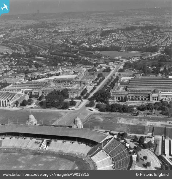
EAW018315 ENGLAND (1948). Part of the Empire Stadium, Olympic Way and environs, Wembley Park, from the south, 1948. This image has been produced from a print.
© Hawlfraint cyfranwyr OpenStreetMap a thrwyddedwyd gan yr OpenStreetMap Foundation. 2026. Trwyddedir y gartograffeg fel CC BY-SA.
Delweddau cyfagos (48)
EPW008076
 under construction, Wembley Park, from the north-west, 1922. This image has been produced from a copy-negative.")
EPW009806

EPW012752

EAW048875

EAW048879

EPW020865

EPW009602

EPW017635

EPW046905

EAW038566
 at Wembley Stadium, 1951. This image has been produced from a print.")
EAW048878

EPW017623

EPW046907

EPW017630

EPW017636

EPW046909

EAW017618

EPW012726

EPW008545
, Wembley Park, 1923. This image has been produced from a copy-negative.")
EAW018313

EPW020862

EAW017619

EPW011412

EPW026431

EPW026433

EPW009655

EPW010462

EPW010456

EPW026438

EPW045706

EPW046913

EPW034581

EAW018311

EPW010461

EPW046239

EAW014141
 Stadium, Wembley Park, 1948. This image has been produced from a damaged negative.")
EPW010459

EAW018312

EPW010458

EPW017625

EPW046910

EPW010457

EPW010460

EPW017624

EAW038567
 at Wembley Stadium, 1951. This image has been produced from a print.")
EPW046914

EAW018317

EPW009547

Manylion
| Pennawd | [EAW018315] Part of the Empire Stadium, Olympic Way and environs, Wembley Park, from the south, 1948. This image has been produced from a print. |
| Cyfeirnod | EAW018315 |
| Dyddiad | 24-August-1948 |
| Dolen | |
| Enw lle | WEMBLEY PARK |
| Plwyf | |
| Ardal | |
| Gwlad | ENGLAND |
| Dwyreiniad / Gogleddiad | 519384, 185661 |
| Hydred / Lledred | -0.27772333043914, 51.55670607832 |
| Cyfeirnod Grid Cenedlaethol | TQ194857 |
Pinnau
Byddwch y cyntaf i ychwanegu sylw at y ddelwedd hon!