
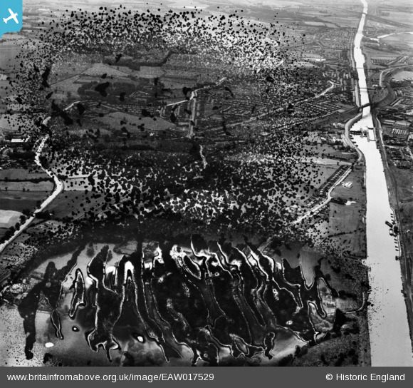
EAW017529 ENGLAND (1948). The residential area between the Manchester Ship Canal and the Bridgewater Canal, Grappenhall, 1948. This image has been produced from a damaged negative.
© Hawlfraint cyfranwyr OpenStreetMap a thrwyddedwyd gan yr OpenStreetMap Foundation. 2026. Trwyddedir y gartograffeg fel CC BY-SA.
Manylion
| Pennawd | [EAW017529] The residential area between the Manchester Ship Canal and the Bridgewater Canal, Grappenhall, 1948. This image has been produced from a damaged negative. |
| Cyfeirnod | EAW017529 |
| Dyddiad | 22-July-1948 |
| Dolen | |
| Enw lle | GRAPPENHALL |
| Plwyf | GRAPPENHALL AND THELWALL |
| Ardal | |
| Gwlad | ENGLAND |
| Dwyreiniad / Gogleddiad | 364560, 387072 |
| Hydred / Lledred | -2.5328164337663, 53.379046056565 |
| Cyfeirnod Grid Cenedlaethol | SJ646871 |
Pinnau

Lomax |
Sunday 21st of February 2021 07:29:06 PM |