
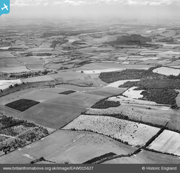
EAW015627 ENGLAND (1948). Linkenholt Hanging, Linkenholt and the surrounding countryside, Combe, from the north-east, 1948. This image has been produced from a damaged negative.
© Hawlfraint cyfranwyr OpenStreetMap a thrwyddedwyd gan yr OpenStreetMap Foundation. 2026. Trwyddedir y gartograffeg fel CC BY-SA.
Manylion
| Pennawd | [EAW015627] Linkenholt Hanging, Linkenholt and the surrounding countryside, Combe, from the north-east, 1948. This image has been produced from a damaged negative. |
| Cyfeirnod | EAW015627 |
| Dyddiad | 14-May-1948 |
| Dolen | |
| Enw lle | COMBE |
| Plwyf | COMBE |
| Ardal | |
| Gwlad | ENGLAND |
| Dwyreiniad / Gogleddiad | 436840, 159392 |
| Hydred / Lledred | -1.4711520577833, 51.331925275349 |
| Cyfeirnod Grid Cenedlaethol | SU368594 |
Pinnau
Byddwch y cyntaf i ychwanegu sylw at y ddelwedd hon!