
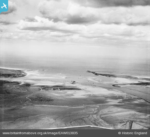
EAW013835 ENGLAND (1948). The Tees Estuary, Billingham, from the south, 1948
© Hawlfraint cyfranwyr OpenStreetMap a thrwyddedwyd gan yr OpenStreetMap Foundation. 2026. Trwyddedir y gartograffeg fel CC BY-SA.
Manylion
| Pennawd | [EAW013835] The Tees Estuary, Billingham, from the south, 1948 |
| Cyfeirnod | EAW013835 |
| Dyddiad | 16-March-1948 |
| Dolen | |
| Enw lle | BILLINGHAM |
| Plwyf | BILLINGHAM |
| Ardal | |
| Gwlad | ENGLAND |
| Dwyreiniad / Gogleddiad | 454191, 526063 |
| Hydred / Lledred | -1.1605335254985, 54.626674443277 |
| Cyfeirnod Grid Cenedlaethol | NZ542261 |
