
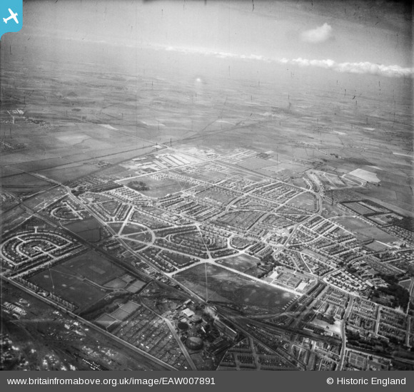
EAW007891 ENGLAND (1947). The residential area at Chirton, North Shields, from the east, 1947
© Hawlfraint cyfranwyr OpenStreetMap a thrwyddedwyd gan yr OpenStreetMap Foundation. 2026. Trwyddedir y gartograffeg fel CC BY-SA.
Manylion
| Pennawd | [EAW007891] The residential area at Chirton, North Shields, from the east, 1947 |
| Cyfeirnod | EAW007891 |
| Dyddiad | 27-June-1947 |
| Dolen | |
| Enw lle | NORTH SHIELDS |
| Plwyf | |
| Ardal | |
| Gwlad | ENGLAND |
| Dwyreiniad / Gogleddiad | 434631, 567966 |
| Hydred / Lledred | -1.4585022339257, 55.004981828319 |
| Cyfeirnod Grid Cenedlaethol | NZ346680 |
Pinnau

Adam |
Friday 26th of February 2021 11:19:40 AM | |
|
Adam |
Friday 26th of February 2021 11:18:47 AM | |
|
Adam |
Friday 26th of February 2021 11:17:19 AM | |
|
Adam |
Friday 26th of February 2021 11:16:41 AM | |
|
Adam |
Friday 26th of February 2021 11:07:59 AM | |
|
Adam |
Friday 26th of February 2021 11:04:38 AM | |
|
Adam |
Friday 26th of February 2021 11:04:11 AM | |
|
Adam |
Friday 26th of February 2021 11:03:46 AM | |
|
Adam |
Friday 26th of February 2021 11:03:26 AM | |
|
Adam |
Friday 26th of February 2021 11:02:53 AM | |
|
redmist |
Friday 3rd of May 2019 08:55:47 AM | |

Mr Tynesider |
Wednesday 4th of June 2014 10:57:11 AM |