
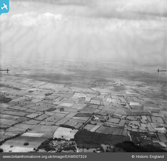
EAW007319 ENGLAND (1947). Countryside around Maythorne and Cork Hill, Southwell, from the south-west, 1947
© Hawlfraint cyfranwyr OpenStreetMap a thrwyddedwyd gan yr OpenStreetMap Foundation. 2025. Trwyddedir y gartograffeg fel CC BY-SA.
Manylion
| Pennawd | [EAW007319] Countryside around Maythorne and Cork Hill, Southwell, from the south-west, 1947 |
| Cyfeirnod | EAW007319 |
| Dyddiad | 24-June-1947 |
| Dolen | |
| Enw lle | SOUTHWELL |
| Plwyf | SOUTHWELL |
| Ardal | |
| Gwlad | ENGLAND |
| Dwyreiniad / Gogleddiad | 469508, 355935 |
| Hydred / Lledred | -0.96185871346875, 53.095790865309 |
| Cyfeirnod Grid Cenedlaethol | SK695559 |
Pinnau

Matt Aldred edob.mattaldred.com |
Tuesday 18th of March 2025 12:53:07 PM |