
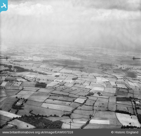
EAW007318 ENGLAND (1947). Countryside between Goldhill Farm and Roe Wood, Halam, from the south-west, 1947
© Hawlfraint cyfranwyr OpenStreetMap a thrwyddedwyd gan yr OpenStreetMap Foundation. 2025. Trwyddedir y gartograffeg fel CC BY-SA.
Manylion
| Pennawd | [EAW007318] Countryside between Goldhill Farm and Roe Wood, Halam, from the south-west, 1947 |
| Cyfeirnod | EAW007318 |
| Dyddiad | 24-June-1947 |
| Dolen | |
| Enw lle | HALAM |
| Plwyf | HALAM |
| Ardal | |
| Gwlad | ENGLAND |
| Dwyreiniad / Gogleddiad | 468740, 356025 |
| Hydred / Lledred | -0.97330794307934, 53.096699319137 |
| Cyfeirnod Grid Cenedlaethol | SK687560 |
Pinnau
 Matt Aldred edob.mattaldred.com |
Tuesday 18th of March 2025 12:53:13 PM |