
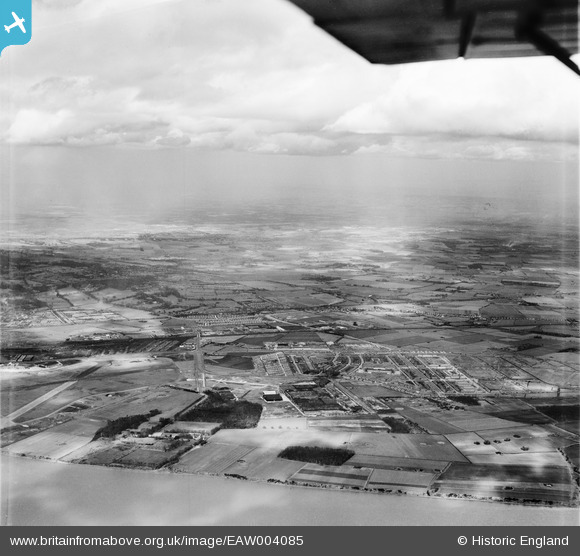
EAW004085 ENGLAND (1947). Speke airfield, Speke and Halewood, Speke, from the south-west, 1947
© Hawlfraint cyfranwyr OpenStreetMap a thrwyddedwyd gan yr OpenStreetMap Foundation. 2026. Trwyddedir y gartograffeg fel CC BY-SA.
Manylion
| Pennawd | [EAW004085] Speke airfield, Speke and Halewood, Speke, from the south-west, 1947 |
| Cyfeirnod | EAW004085 |
| Dyddiad | 25-March-1947 |
| Dolen | |
| Enw lle | SPEKE |
| Plwyf | |
| Ardal | |
| Gwlad | ENGLAND |
| Dwyreiniad / Gogleddiad | 342434, 382338 |
| Hydred / Lledred | -2.8645706350785, 53.334545893475 |
| Cyfeirnod Grid Cenedlaethol | SJ424823 |
Pinnau

JethroBodineJr |
Thursday 24th of August 2023 01:40:19 PM | |
|
rivermersey |
Saturday 27th of June 2020 02:44:00 PM | |
|
redmist |
Thursday 28th of March 2019 05:51:05 PM | |
These are marl pits. They would be pretty big if they were bomb craters. They are also shown on the pre-First and Second World War maps. |
Chris Kolonko |
Tuesday 25th of February 2020 12:07:39 PM |
|
redmist |
Thursday 28th of March 2019 05:04:33 PM | |
|
redmist |
Thursday 28th of March 2019 05:01:30 PM | |
|
Hamilton163 |
Friday 21st of August 2015 03:08:12 PM | |
|
Hamilton163 |
Friday 21st of August 2015 03:07:13 PM | |
|
Hamilton163 |
Friday 21st of August 2015 03:06:04 PM | |
|
Hamilton163 |
Friday 21st of August 2015 03:01:18 PM | |
|
Hamilton163 |
Friday 21st of August 2015 03:00:10 PM | |
|
Hamilton163 |
Friday 21st of August 2015 02:59:11 PM | |
|
Hamilton163 |
Friday 21st of August 2015 02:58:04 PM |