
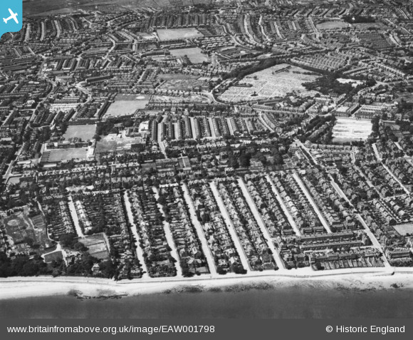
EAW001798 ENGLAND (1946). Penkett Road and environs, New Brighton, 1946. This image has been produced from a print.
© Hawlfraint cyfranwyr OpenStreetMap a thrwyddedwyd gan yr OpenStreetMap Foundation. 2026. Trwyddedir y gartograffeg fel CC BY-SA.
Manylion
| Pennawd | [EAW001798] Penkett Road and environs, New Brighton, 1946. This image has been produced from a print. |
| Cyfeirnod | EAW001798 |
| Dyddiad | 11-July-1946 |
| Dolen | |
| Enw lle | NEW BRIGHTON |
| Plwyf | |
| Ardal | |
| Gwlad | ENGLAND |
| Dwyreiniad / Gogleddiad | 331221, 392749 |
| Hydred / Lledred | -3.0352158118352, 53.426782976684 |
| Cyfeirnod Grid Cenedlaethol | SJ312927 |
Pinnau

Saul Marks |
Tuesday 26th of May 2026 01:06:29 AM | |
|
Saul Marks |
Tuesday 26th of May 2026 01:05:27 AM | |
|
Saul Marks |
Tuesday 26th of May 2026 01:05:06 AM | |
|
Saul Marks |
Tuesday 26th of May 2026 01:04:29 AM | |
|
Saul Marks |
Tuesday 26th of May 2026 01:03:56 AM | |
|
Saul Marks |
Tuesday 26th of May 2026 01:03:10 AM | |
|
Saul Marks |
Tuesday 26th of May 2026 01:02:30 AM | |
|
Saul Marks |
Tuesday 26th of May 2026 01:02:05 AM | |
|
AngeloWirral |
Saturday 11th of January 2025 10:24:58 PM | |
|
flagermus |
Friday 13th of January 2023 03:07:31 PM | |
|
MG |
Tuesday 4th of February 2020 09:51:39 PM | |
|
Chris Kolonko |
Thursday 20th of June 2019 08:16:33 AM | |
|
Chris Kolonko |
Thursday 20th of June 2019 08:16:01 AM | |
|
cptpies |
Wednesday 13th of December 2017 04:08:01 PM | |
|
Saul Kevin |
Sunday 31st of July 2016 08:05:52 PM | |
|
Saul Kevin |
Sunday 31st of July 2016 08:03:08 PM | |
|
Saul Kevin |
Sunday 31st of July 2016 08:02:01 PM | |
|
gBr |
Friday 28th of November 2014 09:12:10 PM |