
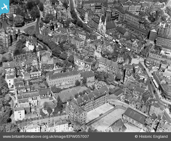
EPW057007 ENGLAND (1938). University College School and environs, Hampstead, 1938
© Copyright OpenStreetMap contributors and licensed by the OpenStreetMap Foundation. 2024. Cartography is licensed as CC BY-SA.
Nearby Images (17)
EPW057007

EPW056830

EPW057006

EPW056831

EAW014553

EPW056651

EAW000614

EAW015166

EPW056832

EAW000625

EAW015167

EAW014551

EPW056658

EPW056653

EAW000611

EPW000817

EAW015168

Details
| Title | [EPW057007] University College School and environs, Hampstead, 1938 |
| Reference | EPW057007 |
| Date | 5-May-1938 |
| Link | |
| Place name | HAMPSTEAD |
| Parish | |
| District | |
| Country | ENGLAND |
| Easting / Northing | 526317, 185835 |
| Longitude / Latitude | -0.17769580198473, 51.556759835557 |
| National Grid Reference | TQ263858 |
Pins
 S Hope |
Sunday 16th of June 2013 06:18:47 PM |


