
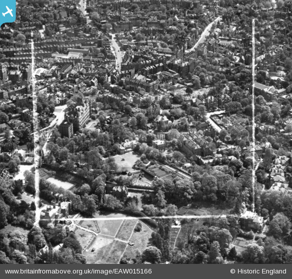
EAW015166 ENGLAND (1948). Frognal Grove, Mount Vernon and environs, Hampstead, 1948. This image has been produced from a print marked by Aerofilms Ltd for photo editing.
© Copyright OpenStreetMap contributors and licensed by the OpenStreetMap Foundation. 2024. Cartography is licensed as CC BY-SA.
Nearby Images (13)
EAW015166

EAW015167

EPW056832

EAW015168

EAW000614

EPW057006

EPW056831

EPW057007

EAW014553

EPW056830

EPW000817

EAW000625

EAW014554

Details
| Title | [EAW015166] Frognal Grove, Mount Vernon and environs, Hampstead, 1948. This image has been produced from a print marked by Aerofilms Ltd for photo editing. |
| Reference | EAW015166 |
| Date | 5-May-1948 |
| Link | |
| Place name | HAMPSTEAD |
| Parish | |
| District | |
| Country | ENGLAND |
| Easting / Northing | 526143, 185846 |
| Longitude / Latitude | -0.18020069153051, 51.556897646048 |
| National Grid Reference | TQ261858 |
Pins
Be the first to add a comment to this image!


