
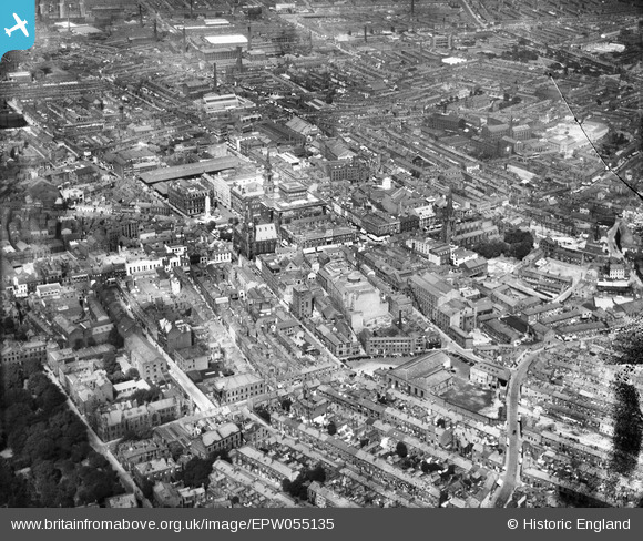
EPW055135 ENGLAND (1937). The town centre, Preston, from the south, 1937
© Copyright OpenStreetMap contributors and licensed by the OpenStreetMap Foundation. 2024. Cartography is licensed as CC BY-SA.
Nearby Images (7)
EPW055135

EPW004020

EPW004019

EPW004017

EPW004014

EPW004018

EAW017824

Details
| Title | [EPW055135] The town centre, Preston, from the south, 1937 |
| Reference | EPW055135 |
| Date | August-1937 |
| Link | |
| Place name | PRESTON |
| Parish | |
| District | |
| Country | ENGLAND |
| Easting / Northing | 354036, 429148 |
| Longitude / Latitude | -2.697219461343, 53.756443665998 |
| National Grid Reference | SD540291 |


