
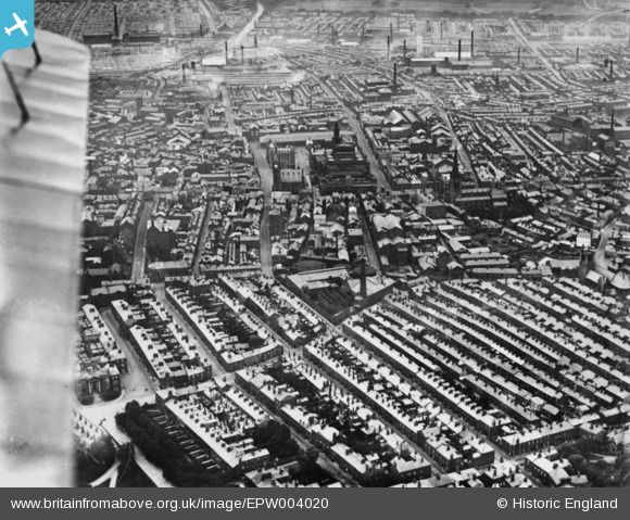
EPW004020 ENGLAND (1920). The Town Hall and environs, Preston, 1920. This image has been produced from a copy-negative.
© Copyright OpenStreetMap contributors and licensed by the OpenStreetMap Foundation. 2024. Cartography is licensed as CC BY-SA.
Nearby Images (10)
EPW004020

EPW055135

EPW004019

EPW004017

EPW004014

EPW004018

EPW055131

EAW017824

EPW055134

EAW015925

Details
| Title | [EPW004020] The Town Hall and environs, Preston, 1920. This image has been produced from a copy-negative. |
| Reference | EPW004020 |
| Date | July-1920 |
| Link | |
| Place name | PRESTON |
| Parish | |
| District | |
| Country | ENGLAND |
| Easting / Northing | 354088, 429209 |
| Longitude / Latitude | -2.6964398177834, 53.756996543826 |
| National Grid Reference | SD541292 |
Pins
Be the first to add a comment to this image!