
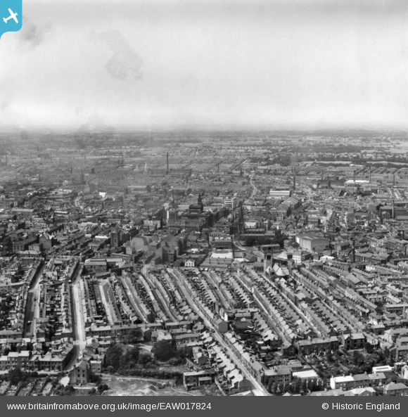
EAW017824 ENGLAND (1948). Oxford Street and the city centre, Preston, from the south-east, 1948. This image has been produced from a print.
© Copyright OpenStreetMap contributors and licensed by the OpenStreetMap Foundation. 2024. Cartography is licensed as CC BY-SA.
Nearby Images (4)
EAW017824

EAW015925

EPW004020

EPW055135

Details
| Title | [EAW017824] Oxford Street and the city centre, Preston, from the south-east, 1948. This image has been produced from a print. |
| Reference | EAW017824 |
| Date | 28-July-1948 |
| Link | |
| Place name | PRESTON |
| Parish | |
| District | |
| Country | ENGLAND |
| Easting / Northing | 354274, 429046 |
| Longitude / Latitude | -2.6935944697961, 53.755547789212 |
| National Grid Reference | SD543290 |
Pins
Be the first to add a comment to this image!