
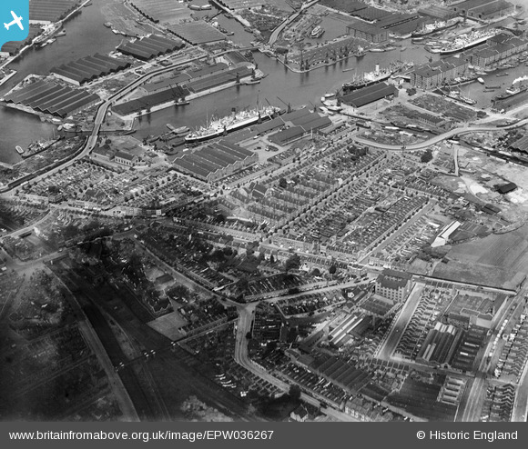
EPW036267 ENGLAND (1931). Sutton Dwellings at Chilton Grove and Greenland Dock, Rotherhithe, 1931
© Copyright OpenStreetMap contributors and licensed by the OpenStreetMap Foundation. 2024. Cartography is licensed as CC BY-SA.
Nearby Images (21)
EPW036267

EPW036264

EPW035612

EPW035610

EPW035608

EPW035611

EPW036263

EPW036266

EPW035609

EPW036268

EPW035613

EAW033240

EAW033237

EAW033238

EAW033239

EAW033184

EAW033242

EAW033182

EAW033236

EAW033181

EPW044145

Details
| Title | [EPW036267] Sutton Dwellings at Chilton Grove and Greenland Dock, Rotherhithe, 1931 |
| Reference | EPW036267 |
| Date | August-1931 |
| Link | |
| Place name | ROTHERHITHE |
| Parish | |
| District | |
| Country | ENGLAND |
| Easting / Northing | 535956, 178759 |
| Longitude / Latitude | -0.041454920597189, 51.490925270123 |
| National Grid Reference | TQ360788 |
Pins
 Nowy Paul |
Sunday 20th of October 2019 04:10:05 PM | |
brianbeckett |
Sunday 12th of October 2014 10:19:24 AM | |
brianbeckett |
Sunday 12th of October 2014 10:18:59 AM | |
brianbeckett |
Sunday 12th of October 2014 10:18:17 AM | |
brianbeckett |
Sunday 12th of October 2014 10:17:16 AM | |
brianbeckett |
Sunday 12th of October 2014 10:16:54 AM | |
brianbeckett |
Sunday 12th of October 2014 10:16:35 AM |


