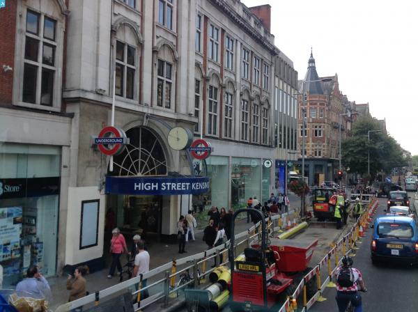
EPW007758 ENGLAND (1922). Kensington High Street and environs, Kensington, 1922

© Copyright OpenStreetMap contributors and licensed by the OpenStreetMap Foundation. 2024. Cartography is licensed as CC BY-SA.
Nearby Images (16)
EPW007758

EPW007760

EPW007757

EPW007756

EPW007762

EPW045416

EPW007755

EPW007759

EPW007761

EPW005724

EPW007764

EPW060790

EPW005730

EPW056404

EPW007763

EAW022729

Details
| Title | [EPW007758] Kensington High Street and environs, Kensington, 1922 |
| Reference | EPW007758 |
| Date | 13-May-1922 |
| Link | |
| Place name | KENSINGTON |
| Parish | |
| District | |
| Country | ENGLAND |
| Easting / Northing | 525659, 179552 |
| Longitude / Latitude | -0.18942534391764, 51.500435449698 |
| National Grid Reference | TQ257796 |
Pins
 Class31 |
Thursday 11th of September 2014 06:16:24 PM | |
Class31 |
Tuesday 22nd of January 2013 03:42:01 PM | |
Class31 |
Tuesday 22nd of January 2013 03:36:23 PM | |
Class31 |
Tuesday 22nd of January 2013 03:22:15 PM | |
Class31 |
Tuesday 22nd of January 2013 03:20:26 PM | |
Class31 |
Tuesday 22nd of January 2013 03:16:02 PM |