
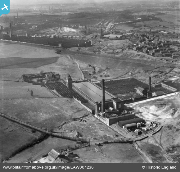
EAW004236 ENGLAND (1947). Valley Ring and Union Ring Cotton Mills at Stoneyfield and environs, Rochdale, 1947. This image has been produced from a print.
© Copyright OpenStreetMap contributors and licensed by the OpenStreetMap Foundation. 2024. Cartography is licensed as CC BY-SA.
Nearby Images (10)
EAW004236

EAW004234

EAW004233

EPW016796

EAW004232

EAW004235

EAW004230

EAW004231

EAW004237

EAW004238

Details
| Title | [EAW004236] Valley Ring and Union Ring Cotton Mills at Stoneyfield and environs, Rochdale, 1947. This image has been produced from a print. |
| Reference | EAW004236 |
| Date | 9-April-1947 |
| Link | |
| Place name | ROCHDALE |
| Parish | |
| District | |
| Country | ENGLAND |
| Easting / Northing | 389222, 411733 |
| Longitude / Latitude | -2.1628906643839, 53.601813601562 |
| National Grid Reference | SD892117 |
Pins
 HILLARY |
Saturday 16th of May 2015 02:17:15 PM |