
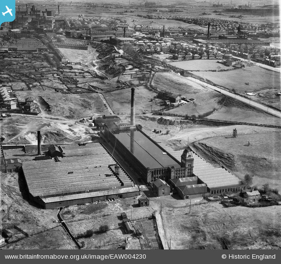
EAW004230 ENGLAND (1947). Valley Ring and Union Ring Cotton Mills at Stoneyfield, Rochdale, 1947
© Copyright OpenStreetMap contributors and licensed by the OpenStreetMap Foundation. 2024. Cartography is licensed as CC BY-SA.
Nearby Images (10)
EAW004230

EAW004231

EAW004235

EAW004232

EPW016796

EAW004234

EAW004233

EAW004236

EAW004237

EAW004238

Details
| Title | [EAW004230] Valley Ring and Union Ring Cotton Mills at Stoneyfield, Rochdale, 1947 |
| Reference | EAW004230 |
| Date | 9-April-1947 |
| Link | |
| Place name | ROCHDALE |
| Parish | |
| District | |
| Country | ENGLAND |
| Easting / Northing | 389342, 411770 |
| Longitude / Latitude | -2.16107834707, 53.602148659377 |
| National Grid Reference | SD893118 |
Pins
 HILLARY |
Thursday 21st of May 2015 09:38:51 PM | |
HILLARY |
Thursday 21st of May 2015 09:35:44 PM | |
HILLARY |
Saturday 16th of May 2015 01:41:27 PM | |
HILLARY |
Saturday 16th of May 2015 01:40:02 PM | |
HILLARY |
Saturday 16th of May 2015 01:39:14 PM | |
HILLARY |
Saturday 16th of May 2015 01:38:27 PM | |
HILLARY |
Saturday 16th of May 2015 01:37:34 PM |