
EAW000154 ENGLAND (1946). The town and environs, Hampton, 1946

© Copyright OpenStreetMap contributors and licensed by the OpenStreetMap Foundation. 2024. Cartography is licensed as CC BY-SA.
Nearby Images (7)
EAW000154

EAW000153

EAW000155

EAW000156

EAW000157

EAW000152

EPW022851

Details
| Title | [EAW000154] The town and environs, Hampton, 1946 |
| Reference | EAW000154 |
| Date | 11-April-1946 |
| Link | |
| Place name | HAMPTON |
| Parish | |
| District | |
| Country | ENGLAND |
| Easting / Northing | 513992, 169714 |
| Longitude / Latitude | -0.36062475288764, 51.414476794325 |
| National Grid Reference | TQ140697 |
Pins
 DavidB |
Saturday 3rd of September 2022 03:45:12 PM | |
Nobby |
Wednesday 14th of March 2018 11:09:32 AM | |
Sparky |
Wednesday 27th of September 2017 10:27:37 PM | |
bumblee |
Monday 14th of April 2014 06:26:29 PM | |
Pip |
Friday 3rd of January 2014 12:19:16 AM | |
Pip |
Wednesday 1st of January 2014 11:51:28 PM | |
Pip |
Wednesday 1st of January 2014 11:37:36 PM | |
Pip |
Wednesday 1st of January 2014 10:46:52 PM | |
Pip |
Wednesday 1st of January 2014 10:46:04 PM | |
Pip |
Wednesday 1st of January 2014 10:45:40 PM | |
Pip |
Wednesday 1st of January 2014 10:43:59 PM | |
Pip |
Wednesday 1st of January 2014 10:43:14 PM | |
Pip |
Wednesday 1st of January 2014 10:42:49 PM | |
Pip |
Wednesday 1st of January 2014 10:42:29 PM | |
Pip |
Wednesday 1st of January 2014 03:04:23 AM |
User Comment Contributions
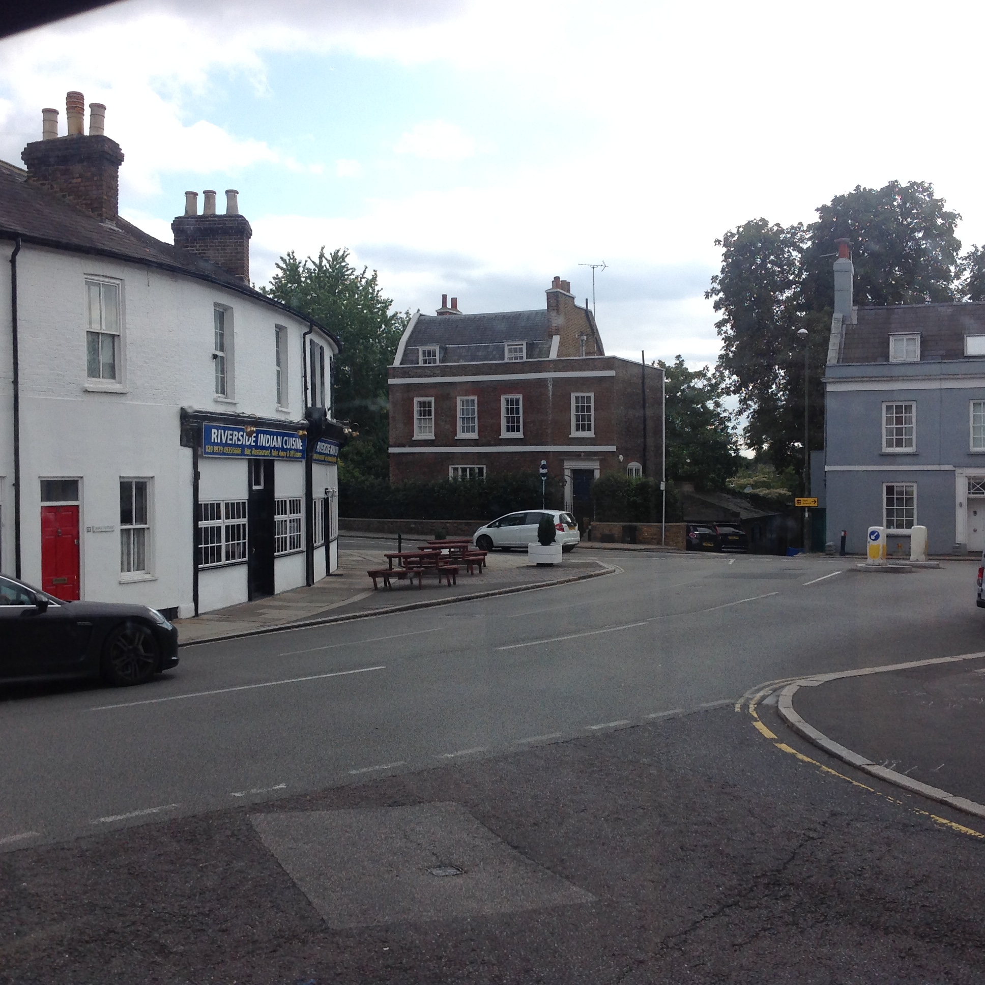 High Street at Thames Street, Hampton, 07/09/2015 |
 Class31 |
Wednesday 9th of September 2015 12:56:40 PM |


