
EAW000155 ENGLAND (1946). The town and River Thames, Hampton, 1946

© Copyright OpenStreetMap contributors and licensed by the OpenStreetMap Foundation. 2024. Cartography is licensed as CC BY-SA.
Nearby Images (9)
EAW000155

EAW000153

EAW000156

EAW000154

EPW022851

EAW000157

EAW000152

EPW006797

EPW006795

Details
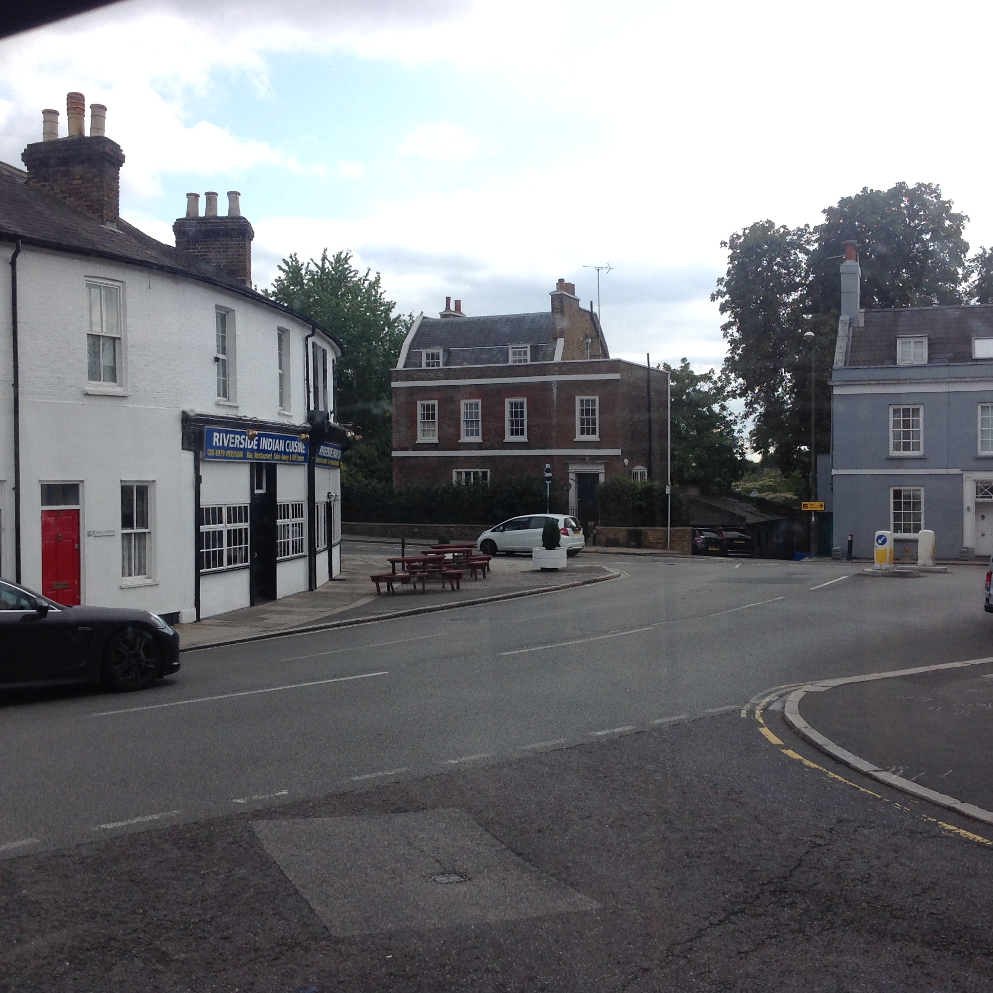
| Title | [EAW000155] The town and River Thames, Hampton, 1946 |
| Reference | EAW000155 |
| Date | 11-April-1946 |
| Link | |
| Place name | HAMPTON |
| Parish | |
| District | |
| Country | ENGLAND |
| Easting / Northing | 514008, 169604 |
| Longitude / Latitude | -0.36043013013377, 51.413484791583 |
| National Grid Reference | TQ140696 |
Pins
 Alfonso Keller |
Wednesday 6th of December 2023 02:46:25 PM | |
Sparky |
Wednesday 27th of September 2017 10:26:32 PM | |
Pip |
Friday 3rd of January 2014 12:24:06 AM | |
Pip |
Wednesday 1st of January 2014 11:42:24 PM | |
Pip |
Wednesday 1st of January 2014 11:41:25 PM | |
Pip |
Wednesday 1st of January 2014 11:41:00 PM | |
Pip |
Wednesday 1st of January 2014 11:32:21 PM | |
Pip |
Wednesday 1st of January 2014 11:31:31 PM | |
Pip |
Wednesday 1st of January 2014 11:30:36 PM | |
Pip |
Wednesday 1st of January 2014 11:29:13 PM | |
Pip |
Wednesday 1st of January 2014 11:28:25 PM | |
Pip |
Wednesday 1st of January 2014 03:11:04 AM | |
Pip |
Wednesday 1st of January 2014 03:08:29 AM |
User Comment Contributions
 High Street at Thames Street, Hampton, 07/09/2015 |
 Class31 |
Wednesday 9th of September 2015 12:55:11 PM |


