
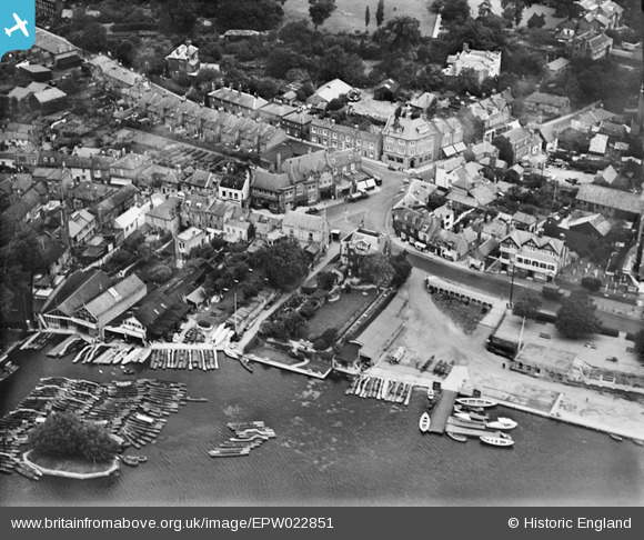
EPW022851 ENGLAND (1928). The town centre, Hampton, 1928
© Copyright OpenStreetMap contributors and licensed by the OpenStreetMap Foundation. 2024. Cartography is licensed as CC BY-SA.
Nearby Images (9)
EPW022851

EAW000156

EAW000155

EPW006797

EAW000153

EPW006795

EAW000157

EAW000152

EAW000154

Details
| Title | [EPW022851] The town centre, Hampton, 1928 |
| Reference | EPW022851 |
| Date | August-1928 |
| Link | |
| Place name | HAMPTON |
| Parish | |
| District | |
| Country | ENGLAND |
| Easting / Northing | 513952, 169485 |
| Longitude / Latitude | -0.36127337586714, 51.412426365455 |
| National Grid Reference | TQ140695 |
Pins
 Ru |
Sunday 19th of October 2014 10:27:27 PM | |
Pip |
Wednesday 1st of January 2014 10:23:33 PM | |
Pip |
Wednesday 1st of January 2014 10:23:04 PM | |
Pip |
Wednesday 1st of January 2014 10:22:33 PM | |
Pip |
Wednesday 1st of January 2014 02:57:40 AM | |
Pip |
Wednesday 1st of January 2014 02:56:52 AM | |
bumblee |
Friday 1st of November 2013 04:13:28 PM | |
Graham |
Tuesday 14th of May 2013 08:24:39 PM | |
No longer a pub |
Ru |
Sunday 19th of October 2014 10:28:09 PM |


