
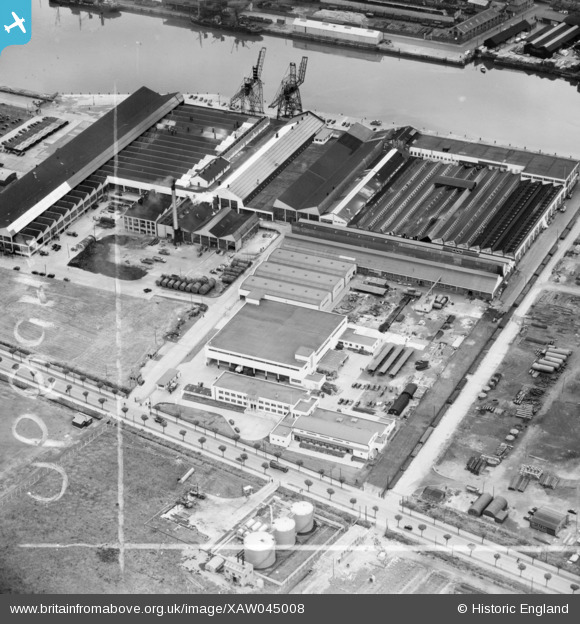
XAW045008 IRELAND (1952). The Irish Dunlop Co. Ltd., Cork, Cork, Ireland, 1952. Oblique aerial photograph taken facing North/West. This image was marked by Aerofilms Ltd for photo editing.
© Copyright OpenStreetMap contributors and licensed by the OpenStreetMap Foundation. 2026. Cartography is licensed as CC BY-SA.
Nearby Images (27)
XAW045008

XAW045006

XAW045012

XAW045005

XAW045010

XAW045007

XAW045013

XAW045011

XAW045009

XAW027103

XAW052107DUP

XAW027098

XAW027095

XAW027099

XAW052108DUP

XAW027097

XAW027096

XPW042447

XAW027102

XPW042449

XAW027100

XAW052106DUP

XAW040361

XAW027101

XAW040359

XAW040358

XAW040360

Details
| Title | [XAW045008] The Irish Dunlop Co. Ltd., Cork, Cork, Ireland, 1952. Oblique aerial photograph taken facing North/West. This image was marked by Aerofilms Ltd for photo editing. |
| Reference | XAW045008 |
| Date | 1952 |
| Link | |
| Place name | CORK |
| Parish | IRELAND |
| District | |
| Country | IRELAND |
| Easting / Northing | -43394, 241991 |
| Longitude / Latitude | -8.448735, 51.899373 |
| National Grid Reference |
Pins
Be the first to add a comment to this image!