
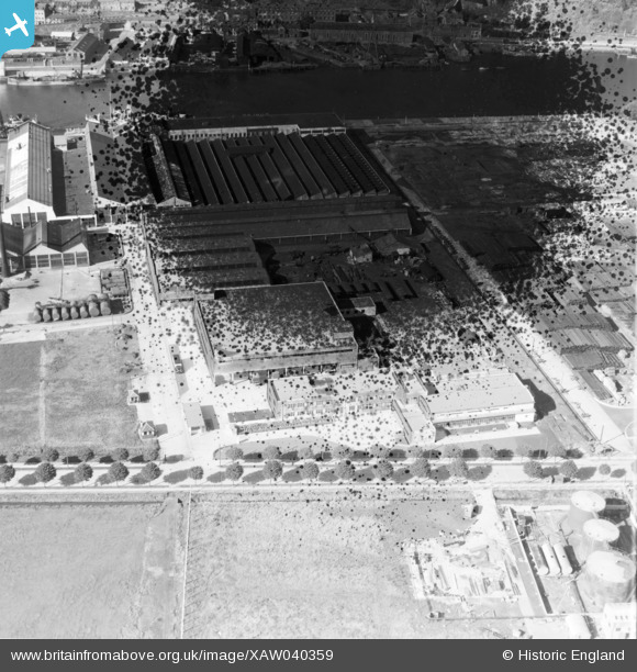
XAW040359 IRELAND (1951). The Irish Dunlop Co. Ltd., Cork, Cork, Ireland, 1951. Oblique aerial photograph taken facing North. This image has been produced from a damaged negative.
© Copyright OpenStreetMap contributors and licensed by the OpenStreetMap Foundation. 2026. Cartography is licensed as CC BY-SA.
Nearby Images (17)
XAW040359

XAW040358

XAW040361

XAW040360

XAW045009

XAW045011

XAW045010

XAW045005

XAW052108DUP

XAW045007

XAW045013

XAW052103

XAW045006

XAW045012

XAW045008

XAW052107DUP

XPW042447

Details
| Title | [XAW040359] The Irish Dunlop Co. Ltd., Cork, Cork, Ireland, 1951. Oblique aerial photograph taken facing North. This image has been produced from a damaged negative. |
| Reference | XAW040359 |
| Date | 19-October-1951 |
| Link | |
| Place name | CORK |
| Parish | IRELAND |
| District | |
| Country | IRELAND |
| Easting / Northing | -43168, 241941 |
| Longitude / Latitude | -8.445409, 51.899107 |
| National Grid Reference |
Pins
Be the first to add a comment to this image!