
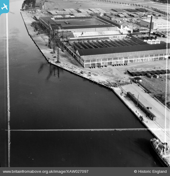
XAW027097 IRELAND (1949). Messrs. A.E. Farr Ltd., Station Road, Cork, Cork, Ireland, 1949. Oblique aerial photograph taken facing East. This image was marked by Aerofilms Ltd for photo editing.
© Copyright OpenStreetMap contributors and licensed by the OpenStreetMap Foundation. 2026. Cartography is licensed as CC BY-SA.
Nearby Images (22)
XAW027097

XAW027099

XAW027095

XAW027098

XAW027102

XAW027100

XAW027101

XAW027096

XAW027103

XPW042449

XAW045008

XAW045012

XAW045006

XAW045013

XAW045007

XAW045005

XAW045010

XAW052107DUP

XAW045011

XAW045009

XPW042447

XAW052108DUP

Details
| Title | [XAW027097] Messrs. A.E. Farr Ltd., Station Road, Cork, Cork, Ireland, 1949. Oblique aerial photograph taken facing East. This image was marked by Aerofilms Ltd for photo editing. |
| Reference | XAW027097 |
| Date | 4-October-1949 |
| Link | |
| Place name | CORK |
| Parish | IRELAND |
| District | |
| Country | IRELAND |
| Easting / Northing | -43554, 242062 |
| Longitude / Latitude | -8.451145, 51.899882 |
| National Grid Reference |
Pins

powerpop |
Saturday 2nd of May 2015 06:18:50 PM |