
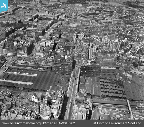
SAW010262 SCOTLAND (1947). Edinburgh, general view, showing Waverley Station and General Register House. An oblique aerial photograph taken facing north.
© Copyright OpenStreetMap contributors and licensed by the OpenStreetMap Foundation. 2026. Cartography is licensed as CC BY-SA.
Nearby Images (20)
SAW010262

SAW010264

SAW010257

SPW027134

SAW010245

SPW027320

SPW027324

SAW010259

SAR010380

SAR029127

SAR029128

SAW014852

SAW014866

SAW014867

SAW009818

SAW009819

SPW027323

SAW010258

SPW027321

SPW027322

Details
| Title | [SAW010262] Edinburgh, general view, showing Waverley Station and General Register House. An oblique aerial photograph taken facing north. |
| Reference | SAW010262 |
| Date | 1947 |
| Link | NRHE Collection item 1268696 |
| Place name | |
| Parish | EDINBURGH (EDINBURGH, CITY OF) |
| District | CITY OF EDINBURGH |
| Country | SCOTLAND |
| Easting / Northing | 325795, 674020 |
| Longitude / Latitude | -3.1885171535531, 55.953511023589 |
| National Grid Reference | NT258740 |
Pins

gBr |
Wednesday 19th of April 2017 12:00:12 PM |
User Comment Contributions
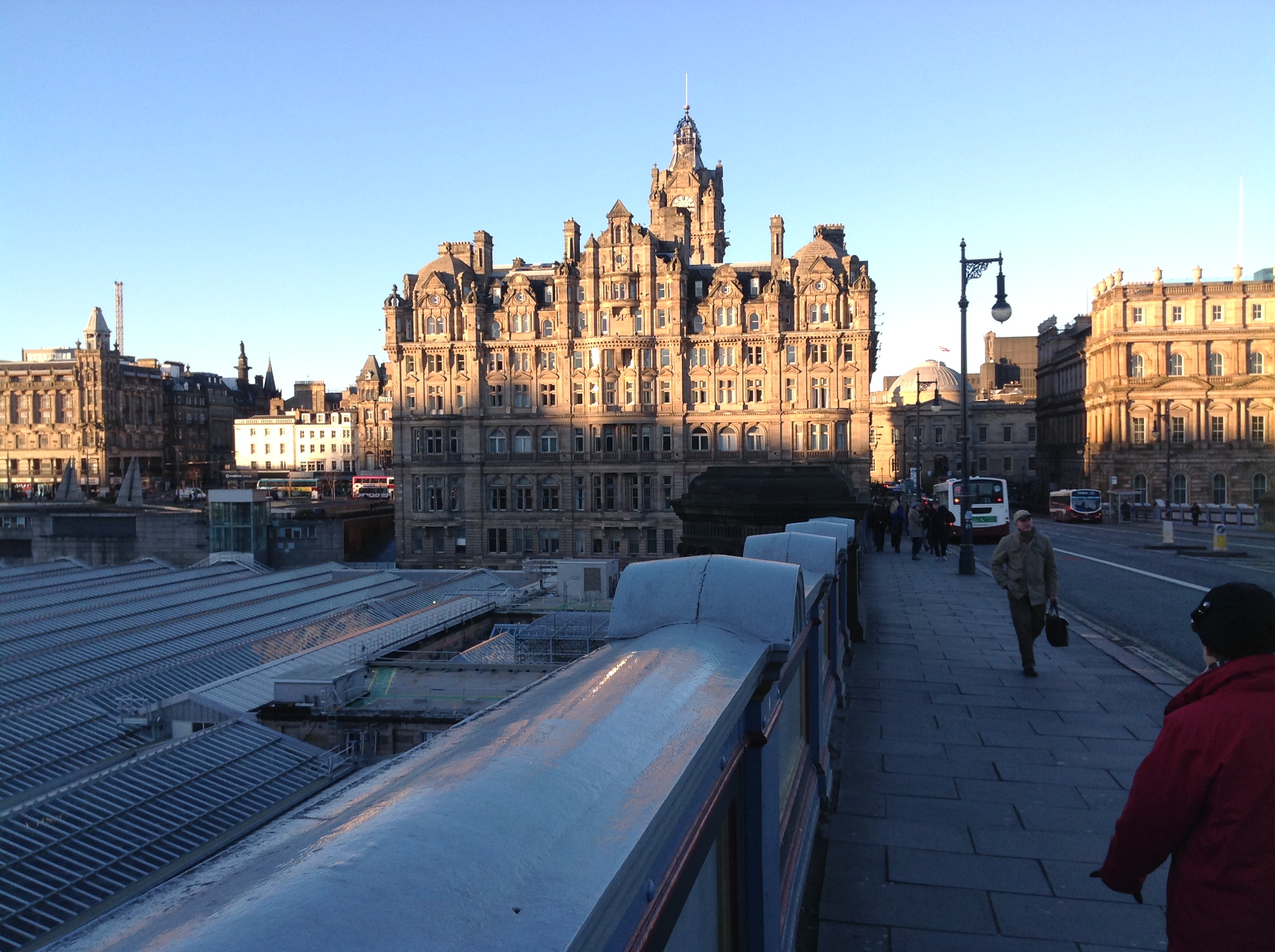
View north along North Bridge 05/12/2013 |

Class31 |
Saturday 7th of December 2013 08:27:47 PM |