
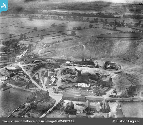
EPW062141 ENGLAND (1939). The Breedon Lime Works, Breedon on the Hill, 1939
© Copyright OpenStreetMap contributors and licensed by the OpenStreetMap Foundation. 2026. Cartography is licensed as CC BY-SA.
Nearby Images (18)
EPW062141

EAW000935

EPW062142

EAW000929

EAW000941

EPW062140

EAW001701

EAW001700

EPW062139

EAW000942

EPW062143

EAW001699

EAW000943

EAW001668

EAW000940

EPW062144

EAW001697

EAW001698

Details
| Title | [EPW062141] The Breedon Lime Works, Breedon on the Hill, 1939 |
| Reference | EPW062141 |
| Date | 29-June-1939 |
| Link | |
| Place name | BREEDON ON THE HILL |
| Parish | BREEDON ON THE HILL |
| District | |
| Country | ENGLAND |
| Easting / Northing | 440583, 323090 |
| Longitude / Latitude | -1.3979482956508, 52.803504880976 |
| National Grid Reference | SK406231 |
Pins
Be the first to add a comment to this image!