
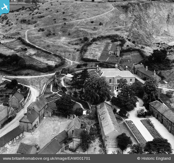
EAW001701 ENGLAND (1946). The Hall, Breedon on the Hill, 1946
© Copyright OpenStreetMap contributors and licensed by the OpenStreetMap Foundation. 2026. Cartography is licensed as CC BY-SA.
Nearby Images (18)
EAW001701

EAW001700

EAW001699

EAW001697

EAW001698

EAW000935

EPW062141

EPW062142

EAW000941

EAW000929

EAW000942

EAW000940

EAW000943

EPW062140

EPW062139

EPW062143

EPW062144

EAW001668

Details
| Title | [EAW001701] The Hall, Breedon on the Hill, 1946 |
| Reference | EAW001701 |
| Date | 12-July-1946 |
| Link | |
| Place name | BREEDON ON THE HILL |
| Parish | BREEDON ON THE HILL |
| District | |
| Country | ENGLAND |
| Easting / Northing | 440546, 322981 |
| Longitude / Latitude | -1.3985106819859, 52.802527751747 |
| National Grid Reference | SK405230 |
Pins
Be the first to add a comment to this image!