
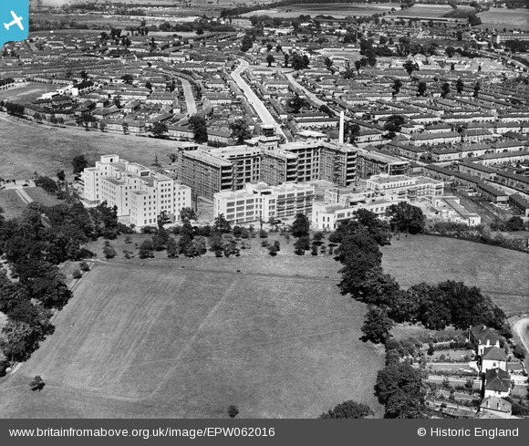
EPW062016 ENGLAND (1939). St Helier Hospital and Queen Mary's Hospital for Children under construction, St Helier, 1939
© Copyright OpenStreetMap contributors and licensed by the OpenStreetMap Foundation. 2026. Cartography is licensed as CC BY-SA.
Nearby Images (15)
EPW062016

EAW018359

EPW062018

EPW062014

EPW062017

EAW018364

EPW062013

EPW062015

EAW018362

EPW062012

EAW018360

EAW018363

EAW018357

EAW018361

EAW018358

Details
| Title | [EPW062016] St Helier Hospital and Queen Mary's Hospital for Children under construction, St Helier, 1939 |
| Reference | EPW062016 |
| Date | 27-June-1939 |
| Link | |
| Place name | ST HELIER |
| Parish | |
| District | |
| Country | ENGLAND |
| Easting / Northing | 526411, 166087 |
| Longitude / Latitude | -0.18340492451491, 51.379243461558 |
| National Grid Reference | TQ264661 |
Pins

christhewino |
Tuesday 8th of October 2013 08:46:04 PM |