
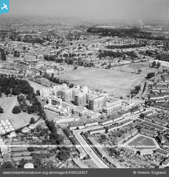
EAW018357 ENGLAND (1948). St Helier Hospital and environs, St Helier, from the south, 1948. This image was marked by Aerofilms Ltd for photo editing.
© Copyright OpenStreetMap contributors and licensed by the OpenStreetMap Foundation. 2026. Cartography is licensed as CC BY-SA.
Nearby Images (15)
EAW018357

EAW018361

EAW018363

EPW062015

EPW062017

EPW062018

EPW062012

EAW018362

EAW018359

EPW062016

EPW062014

EAW018360

EPW062013

EAW018358

EAW018364

Details
| Title | [EAW018357] St Helier Hospital and environs, St Helier, from the south, 1948. This image was marked by Aerofilms Ltd for photo editing. |
| Reference | EAW018357 |
| Date | 27-August-1948 |
| Link | |
| Place name | ST HELIER |
| Parish | |
| District | |
| Country | ENGLAND |
| Easting / Northing | 526509, 166032 |
| Longitude / Latitude | -0.18201696197306, 51.378727277226 |
| National Grid Reference | TQ265660 |

