
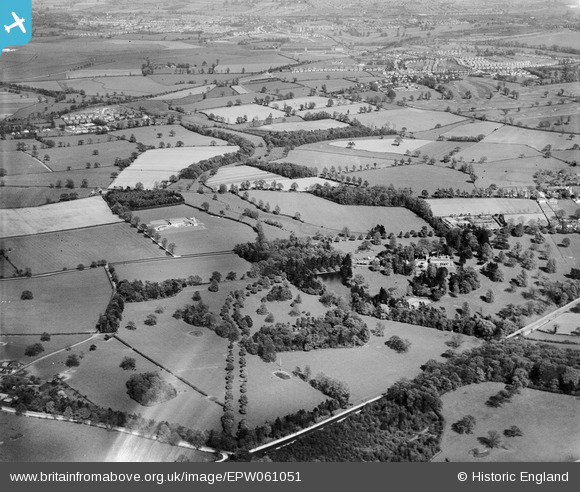
EPW061051 ENGLAND (1939). Wergs Hall and surrounding countryside, Codsall, from the west, 1939
© Copyright OpenStreetMap contributors and licensed by the OpenStreetMap Foundation. 2026. Cartography is licensed as CC BY-SA.
Nearby Images (7)
EPW061051

EPW061047

EPW061050

EPW061052

EPW061053

EPW061049

EPW061048

Details
| Title | [EPW061051] Wergs Hall and surrounding countryside, Codsall, from the west, 1939 |
| Reference | EPW061051 |
| Date | 10-May-1939 |
| Link | |
| Place name | CODSALL |
| Parish | CODSALL |
| District | |
| Country | ENGLAND |
| Easting / Northing | 386786, 301566 |
| Longitude / Latitude | -2.1951705674113, 52.611356137257 |
| National Grid Reference | SJ868016 |
Pins

totoro |
Friday 20th of June 2014 08:30:20 PM | |
|
totoro |
Friday 20th of June 2014 08:28:56 PM | |
|
totoro |
Friday 20th of June 2014 08:28:04 PM | |
|
totoro |
Friday 20th of June 2014 08:26:10 PM | |
|
totoro |
Friday 20th of June 2014 08:24:56 PM | |
|
totoro |
Friday 20th of June 2014 08:22:32 PM | |
|
totoro |
Friday 20th of June 2014 08:22:17 PM |